Contract D005475 SAR-003: Hudson Eagles Recreation Area
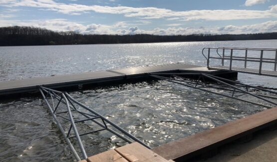
The project scope for this New York State Office of Parks, Recreation and Historic Preservation (NYSOPRHP) project included the development of survey and existing conditions reports for five publicly accessible boat launches and shoreline sites within the Hudson Eagles Recreation Area, including the 0.25-acre Crailo State Historic Site, 2.5-acre Schodack Island State Park, 4.92-acre Coxsackie Boat Launch, 2.1-acre Athens Boat Launch, and 2-acre Hudson Boat Launch. These reports will support the future development of design and construction documents.
KC was responsible for providing land and bathymetric surveying services for all five sites, which included review of existing property and land survey documentation, boundary survey of recorded easements and underwater property lines, topographic land survey, and survey of on-site and underwater utilities. Topographic survey was produced in North American Datum of 1983 (NAD 83) and North American Vertical Datum of 1988 (NAVD 88), New York State Plane Eastern-Zone Coordinates. Survey site features, including travel ways, walkways, parking areas, guide rails, pavement markings, boat ramps, docks / floating docks, bulkheads, light poles, trash receptacles, and more were identified for mapping.

