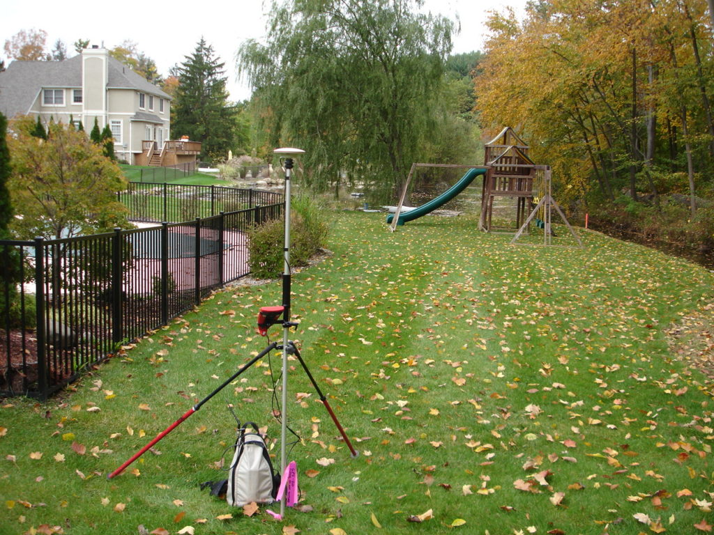
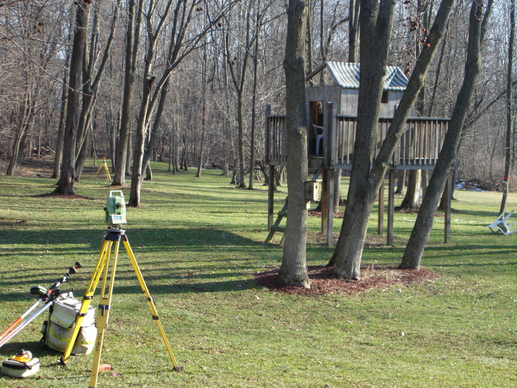
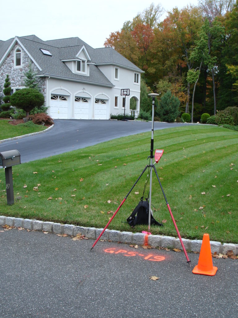
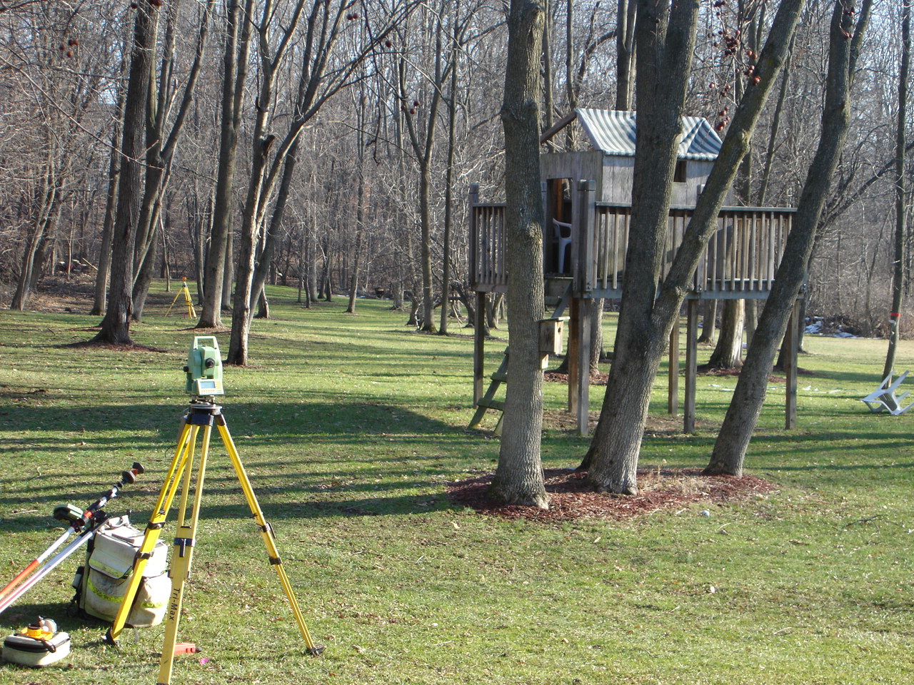
Imagine this: You’ve been living in your home for a few years and decide, one day, to put up a picket fence. You do so, only to find out that your neighbor is saying that some of his property is within your fence line. Is he right, or are you? And how can you know?
What is a property survey and why is a property survey an essential document to receive when buying a property?
A property survey is an examination or measuring of land that illuminates all manmade and natural property features, such as creeks, streams, or utility lines, values, and boundaries. Importantly, a property survey lets land owners and buyers know where their property begins and ends—this information becomes important when looking to expand a home or build a fence around it. Another important piece of information illuminated from a property survey is the location of utility lines. This knowledge can help a land buyer understand their legal rights and limitations as an owner. FindLaw.com, a popular site for legal information, explains that, “A utility company may have the right to use a portion of your property for upkeep of utility lines, and may have a say in how tall you let your trees grow.” They also explain that “knowing the exact location of underground utilities is critical before any excavation or construction begins.”
How do I read a property survey document?
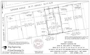
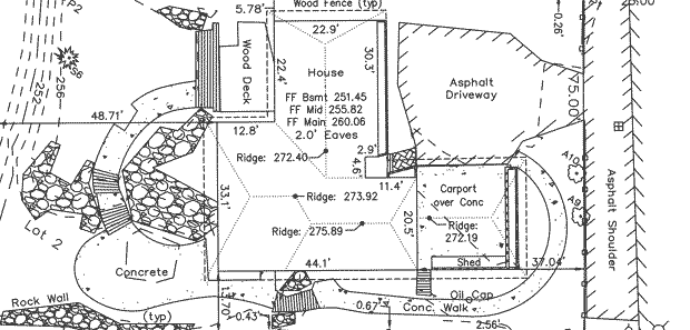
At first glance, a property survey appears to be a complex and complicated document only decodable by professional land surveyors. However, there are a few simple ways to understand the document and, more importantly, to understand the significant features of your property. The first step is to understand the symbols inside the legend. According to Professional Land Systems Land Surveyors, “The best symbols resemble their real-world counterparts,” so fear not! As confusing as property surveys may seem, these symbols serve as helpful ways for property owners to identify and locate property features such as nearby fire hydrants, wells, property corners, and easements. Next, find the document’s compass to orient yourself with the layout of your property and proceed to locate important boundary lines illuminated by your surveyor. These lines are often marked in feet. To locate the important features of your property, consult the written report that accompanies your drawn survey and match the descriptions with the symbols in the legend. Marked property features may include bodies of water, water pipes, telephone lines, or physical boundaries.
What do I do with the information from the property survey?
Once you’ve decoded your property survey, you can proceed to make adjustments to your home: knowing where your property begins and ends will allow you to know exactly where a new fence can go; knowing where underground utility lines lie will help you to determine where to plant a garden or where to break ground for construction. Further, understanding your property survey, and keeping it on hand, will help you legally—if a neighbor unlawfully encroaches on your land, whether that be by erecting a fence beyond their boundary lines or extending their home onto your property, you have the evidence to prove it.
For more information on property surveys and the importance of land surveyors, visit http://www.nysapls.org/?page=1.
