Land surveyors’ workload consists of a wide range of tasks, but the main concept of their overall work is to prepare sites for construction. Topographic survey is one of the main types of services performed by land surveyors. According to civilengineeringbible.com, topographic survey is defined as a “method of determining the positions, on the surface of the earth, of human made and natural features. It also is used to determine the configuration of the terrain.” So, in other words, surveyors perform topographic survey to find coordinates and height data needed for construction sites.
The methods used for performing topographic survey include:
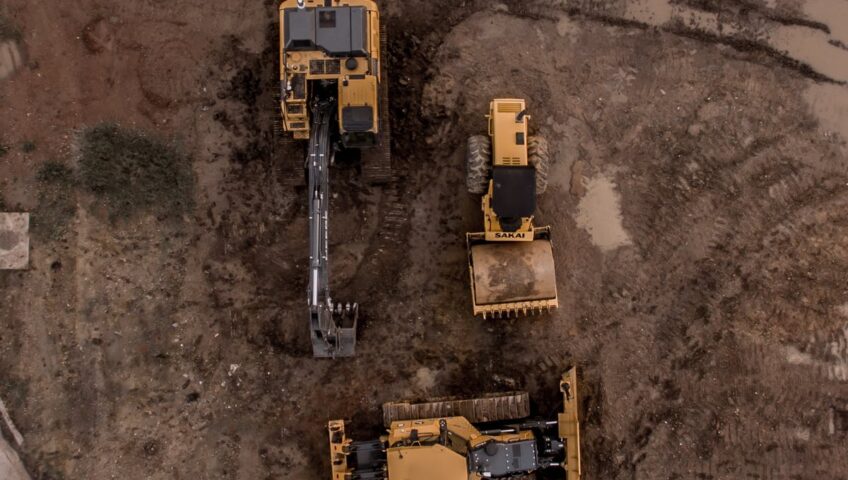
- Aerial Survey: Aerial survey is also known as photogrammetry. This method allows surveyors to easily survey the ground by collecting high-altitude photos using a plane or drone.
- Global Positioning System (GPS): This method is used in smaller areas where aerial approach is not necessary.
- Total Station: This method is known to be the most effect method since it is performed directly by the field crew resulting in more detailed information being collected.
KC’s land surveying group consists of dedicated professional land surveyors, party chiefs, instrument persons, geographic information system (GIS) technicians, draftsmen, engineering technicians, and Computer-Aided Design (CAD) operators with experience researching and recording all types of survey data and providing field services in varying terrains and weather. To learn more about KC’s services, please visit our Services tab.
