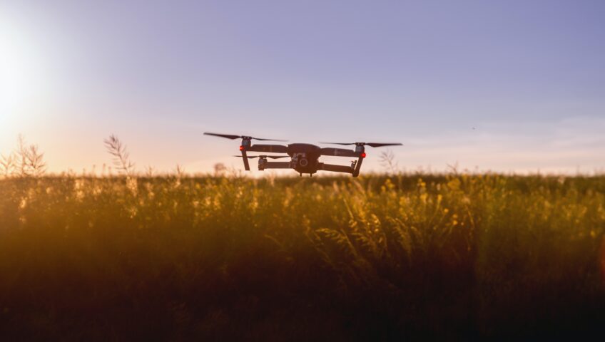
Did you know that unmanned aerial vehicles (UAVs) or unmanned aircraft systems are the more formally known names for drones?
The invention of the first UAV could be traced back to 1783, when the first pilotless hot-air balloon was created, and that is because any powered aerial vehicle without a human operator aboard is considered a drone. Therefore, from a technical standpoint, drones have been around for decades, but modern drones started to be developed in the 1900s. As technology evolves, innovators have been improving the quality of drones, which allows a variety of industries to use them to improve their quality of work. Due to their capacity to quickly cover vast surface areas and provide access to difficult places, modern drones have gained a lot of popularity.
The exponential growth of technological innovation is causing rapid changes in the field of professional land surveying, and one of the new developments in land surveying technology is the use of drones. Survey drones have become essential tools because they allow surveyors to get their data quickly and accurately, which expands their services and helps reduce costs. Survey drones can be used for mapping and surveying due to their ability to fly over the ground and successfully carry out tasks for land surveys, 3D mapping, and topographic and photogrammetry surveys on large plots of land.
Surveyors must adhere to legal requirements and basic operating procedures, even as survey drone technology becomes more adaptable and accessible to users. Because of its influence, strong laws are implemented to preserve a secure environment.


