South Brooklyn Marine Terminal Surveying Project

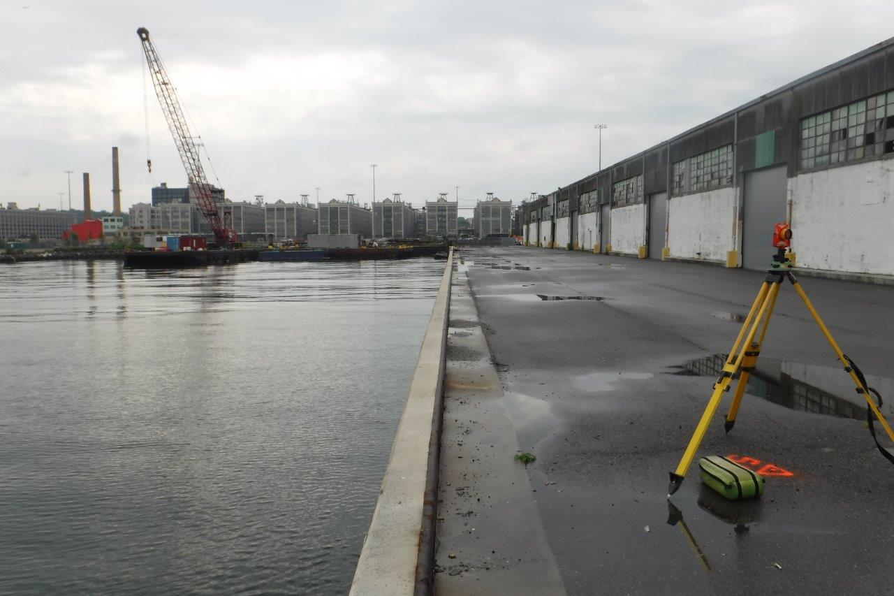
KC performed a boundary survey for the South Brooklyn Marine Terminal (SBMT) located in the Sunset Park neighborhood of Brooklyn. This survey consisted of surveying the 144-acre port, which is on the Gowanus Bay and includes 96 acres of dry land. This project required extensive record research to recover property records on the SBMT and adjoining properties. The survey work required KC to resolve the boundary of the property as well as locate all features on and adjoining the premises. The purpose of the survey was for the NYCEDC to have a proper survey of the property so it could easily lease portions of the terminal in the future.

In conjunction with the boundary survey, KC performed a topographic and utility survey for a portion of the SBMT for AKRF. This survey was for the purpose of SIMS Municipal Recycling to expand their state-of-the-art material recovery facility located at the terminal. KC was tasked with researching existing utility maps and working with a SUE contractor for locating said existing utilities. KC provided AKRF with a base map for the design of the extension of the SIMS facility.

NYCEDC East Midtown Greenway Survey Project

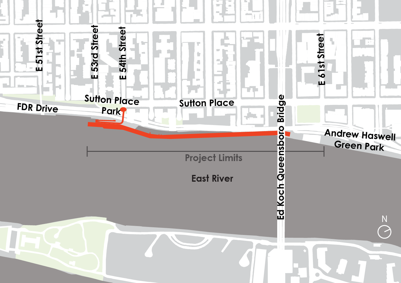
The East Midtown Greenway (EMG) is the second phase of a three-phase development known as the East Midtown Waterfront Project (EMWP). The intent of the EMWP is to construct a continuous public waterfront esplanade over the East River in Manhattan. The EMG’s southern and northern termini are East 53rd Street and East 61st Street. The project also includes a new pedestrian bridge, which will provide access the esplanade at 54th Street and Sutton Place South.

KC performed the topographic survey, utility survey, and easement survey for the project. Work associated with the production of these deliverables included a comprehensive investigation of all available record utility and government agency maps. KC also researched available design drawings, as-built drawings, and aerial maps spanning approximately 80 years to understand site conditions, both above- and below-ground. KC's survey crew also coordinated with an arborist to accurately measure, classify, and record all trees within the project limits.

KC assisted in providing an existing conditions report. Provided narratives entailed a detailed description of the project land use, ownership, and zoning. This report also included a written description of onsite utilities and important features, including an existing 11-foot gravity retaining wall and a comprehensive engineering investigation of an existing bridge located adjacent to the project area.

In addition, KC, the Engineer of Record for the new 54th Street pedestrian bridge, is actively coordinating with the New York City Economic Development Corporation and a bridge architectural firm to provide a bridge design that will be visually appealing, will meet the high expectations of the community, and will adhere to the design standards set forth by both the New York City Department of Transportation and the New York City Department of Parks and Rrecreation.