Infrastructure Week, Day 3: Transit

Public transit is a staple of our nation that continues to grow yearly despite the fact that it remains neglected and radically underfunded. American transit systems carry billions of people a year via trains, commuter buses, ridesharing services, and more. These systems mainly provide transportation in urban areas and are also vital in many rural areas across the county. In the past few years, we’ve seen major train derailments, non-passengers killed in transit-related accidents, and damaged infrastructure as a result of natural disasters. The resilience of outdated, unreliable infrastructure is tested each day.

For us to receive the full functionality of national transit systems, we need not only transit vehicles, but sufficient infrastructure like traffic signals, train tracks, and roadways to successfully carry and guide these vehicles. However, with lack of funding, years of deferred maintenance, and aging infrastructure, our public transit systems continue to suffer.

At KC Engineering and Land Surveying, P.C. (KC), our civil engineering services include roadway and highway design, traffic engineering, lighting design, and other services that are utilized to maintain and improve transit operations. KC has provided construction inspection with a wide variety of tasks, including replacement of bridge and mounting tube railings, design assessment for rehabilitation of railroad bridges, and traffic calming and street lighting design near transit facilities.


What Goes Into a Land Surveyor’s Backpack?

Land surveying is one of the oldest professions in the world, dating back to ancient times. Surveying illuminates the features of a property, outlines property boundaries, locates underground utility lines, and so much more. So what type of equipment do surveyors usually take out into the field? We decided to ask our survey crew and here is what they had to say:

“We’ll start with our basic personal equipment. Unfortunately, as surveyors, we are constantly in the field so our survey attire isn’t always office-appropriate. Whether it’s a ragged shirt with torn jeans, or a t-shirt with holes, our field attire is not really ideal to wear in a professional office environment. The same could be said for wearing nice clothing while performing fieldwork. No one wants to survey in khakis and a button-down shirt. That’s why we always keep a spare change of work clothes, just in case we need to perform fieldwork in an emergency. This means we can dress respectably in the office and still have the option to change into field clothes.

As far as personal gear, safety is always a priority. We keep our orange vests in our packs as well as our hard hats and boots. Using proper footwear while surveying in the field is essential. There’s a lot of standing and walking, so a good pair of boots goes a long way. Additionally, we may have our own tool belts as well as safety glasses. Again, safety is always a top priority so you’ll always find these either in our backpacks or survey truck.

Shorts are not a recommended item of clothing because half the time we’re walking through tall brush and need to be cognizant of ticks. You’ll also find bug spray, sunblock, and sanitary hand wipes. Some other items you may find are a magnetic compass, a small mini-reflector prism, and a 25-foot steel tape.

As far as the typical surveying equipment, these are our surveying instruments:

  • The Nikon Nivo 2C; and
  • The Leica TCRA 1103 Plus robotic instrument.

These instruments are used by field crews on a daily basis for collecting data. However, the instruments are always brought inside at day’s end and are never left in the survey truck. Tripods, prism poles, and various other tools can be found in the bed of the survey truck."

All of these items are used in different ways but are essential to performing the duties of a land surveyor.


NYCEDC East Midtown Greenway Survey Project

The East Midtown Greenway (EMG) is the second phase of a three-phase development known as the East Midtown Waterfront Project (EMWP). The intent of the EMWP is to construct a continuous public waterfront esplanade over the East River in Manhattan. The EMG’s southern and northern termini are East 53rd Street and East 61st Street. The project also includes a new pedestrian bridge, which will provide access the esplanade at 54th Street and Sutton Place South.

KC performed the topographic survey, utility survey, and easement survey for the project. Work associated with the production of these deliverables included a comprehensive investigation of all available record utility and government agency maps. KC also researched available design drawings, as-built drawings, and aerial maps spanning approximately 80 years to understand site conditions, both above- and below-ground. KC's survey crew also coordinated with an arborist to accurately measure, classify, and record all trees within the project limits.

KC assisted in providing an existing conditions report. Provided narratives entailed a detailed description of the project land use, ownership, and zoning. This report also included a written description of onsite utilities and important features, including an existing 11-foot gravity retaining wall and a comprehensive engineering investigation of an existing bridge located adjacent to the project area.

In addition, KC, the Engineer of Record for the new 54th Street pedestrian bridge, is actively coordinating with the New York City Economic Development Corporation and a bridge architectural firm to provide a bridge design that will be visually appealing, will meet the high expectations of the community, and will adhere to the design standards set forth by both the New York City Department of Transportation and the New York City Department of Parks and Rrecreation.


What to Know About Your Property When Buying a Home: Property Surveys

Imagine this: You’ve been living in your home for a few years and decide, one day, to put up a picket fence. You do so, only to find out that your neighbor is saying that some of his property is within your fence line. Is he right, or are you? And how can you know?

What is a property survey and why is a property survey an essential document to receive when buying a property?

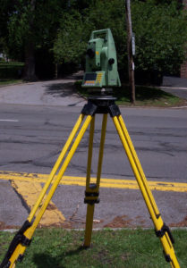
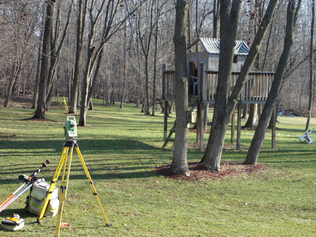
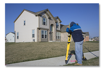
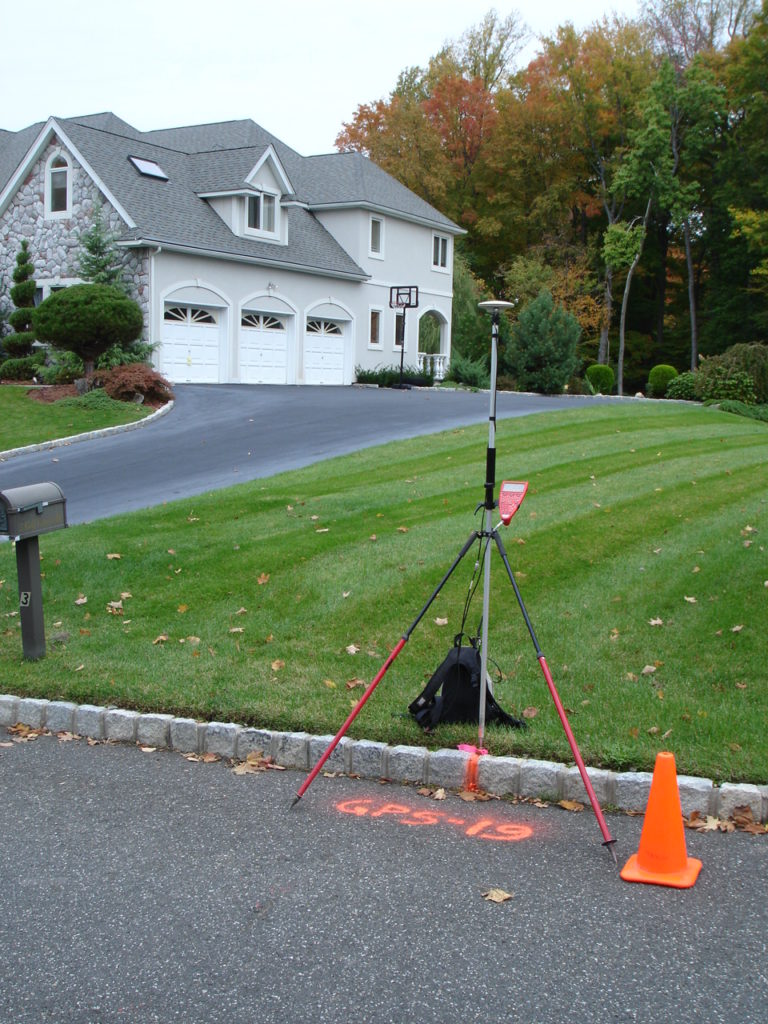
A property survey is an examination or measuring of land that illuminates all manmade and natural property features, such as creeks, streams, or utility lines, values, and boundaries. Importantly, a property survey lets land owners and buyers know where their property begins and ends—this information becomes important when looking to expand a home or build a fence around it. Another important piece of information illuminated from a property survey is the location of utility lines. This knowledge can help a land buyer understand their legal rights and limitations as an owner. FindLaw.com, a popular site for legal information, explains that, “A utility company may have the right to use a portion of your property for upkeep of utility lines, and may have a say in how tall you let your trees grow.” They also explain that “knowing the exact location of underground utilities is critical before any excavation or construction begins.”

How do I read a property survey document?

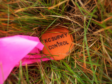
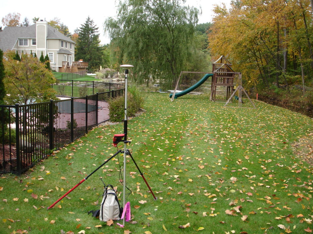
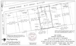
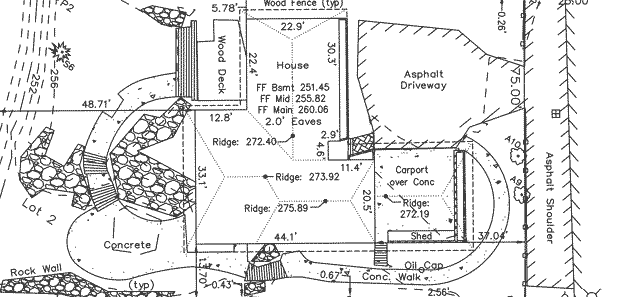
At first glance, a property survey appears to be a complex and complicated document only decodable by professional land surveyors. However, there are a few simple ways to understand the document and, more importantly, to understand the significant features of your property. The first step is to understand the symbols inside the legend. According to Professional Land Systems Land Surveyors, “The best symbols resemble their real-world counterparts,” so fear not! As confusing as property surveys may seem, these symbols serve as helpful ways for property owners to identify and locate property features such as nearby fire hydrants, wells, property corners, and easements. Next, find the document’s compass to orient yourself with the layout of your property and proceed to locate important boundary lines illuminated by your surveyor. These lines are often marked in feet. To locate the important features of your property, consult the written report that accompanies your drawn survey and match the descriptions with the symbols in the legend. Marked property features may include bodies of water, water pipes, telephone lines, or physical boundaries.

What do I do with the information from the property survey?

Once you’ve decoded your property survey, you can proceed to make adjustments to your home: knowing where your property begins and ends will allow you to know exactly where a new fence can go; knowing where underground utility lines lie will help you to determine where to plant a garden or where to break ground for construction. Further, understanding your property survey, and keeping it on hand, will help you legally—if a neighbor unlawfully encroaches on your land, whether that be by erecting a fence beyond their boundary lines or extending their home onto your property, you have the evidence to prove it.

For more information on property surveys and the importance of land surveyors, visit http://www.nysapls.org/?page=1.


Michaelson Studios Electrical Supply Project

Michaelson Studios plans to revitalize the old City of Middletown train depot on Midland Avenue Extension by creating a new film and production studio. Due to the extremely high-power demands of the required lighting systems needed for the facility, KC was contracted to design the electrical supply connections to the utility provider.

KC prepared calculations and designs for connection of the 6,500 AMP 208 VAC 3-phase connection from the utility’s transformer to the power control center in the facility.

The service utilized multiple stages in transforming all of the available 2 Megawaits in power and distributing it to the entire facility. KC also prepared the utility application for the client and coordinated with Orange and Rockland Utilities, and performed the site utility survey.