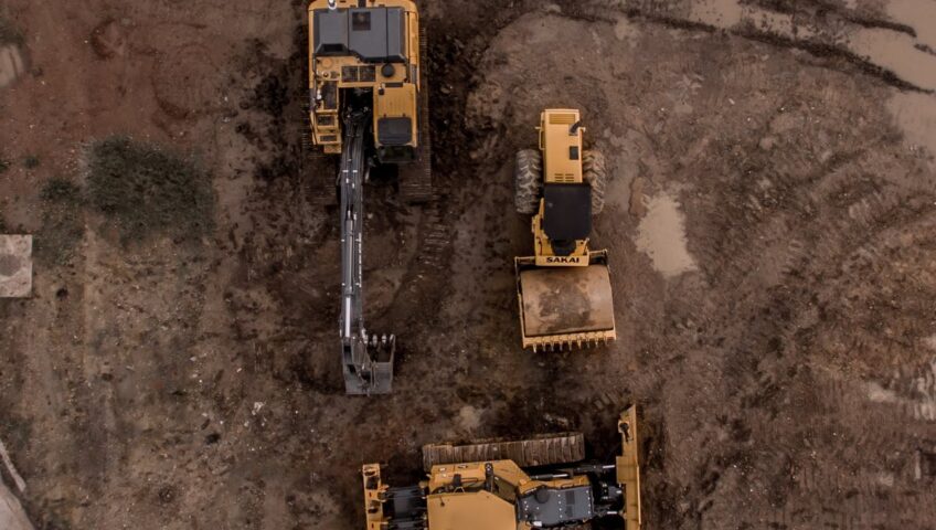
If you’ve ever wondered who oversees all types of project sites in your community, the answer is municipal engineers. When you pass by bridges, airports, public parks, streets and sidewalks, or any general road in your community, municipal engineers are typically the ones behind the work. The most common services municipal engineers provide are structural, water and wastewater, and traffic and transportation engineering, but their work doesn’t just end there. Aside from designing, constructing, and maintaining these communities, municipal engineers do a lot of administrative work and give support to communities.
The administrative work and support municipal engineers provide is for the improvement of their communities. The main goal of municipal engineers’ administrative work is to make sure each project brings a positive outcome to the community, which is why municipal engineers ensure each project is compliant with each project-specific plans, codes, and specifications. Municipal engineers additionally give support to their communities by ensuring that the voices of their communities are heard. They create in-depth approaches to get involved with their communities and gather all necessary opinions to create an action plan that works for all. For example, before a project starts, municipal engineers may speak to all the parties involved such as residents, agencies, and the communities’ officials.
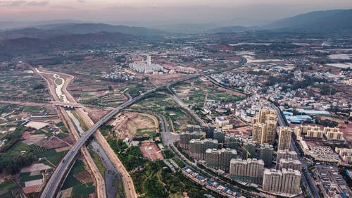
At KC Engineering and Land Surveying, P.C. (KC), maintaining and improving our communities remains an important priority. KC’s municipal engineering group is an integral part of our contribution to the safety of our communities.