Total Station technology was first introduced in the 1900s; however, the first official Total Station tool was created in 1968 by a German company called Carl Zeiss Inc., and during that time, Zeiss called this tool the “electronic tacheometer.” It wasn't until Hewlett-Packard launched a tool that provided similar results, but with the name "Total Station," over thirty years after the electronic tacheometer was created that it adopted its current name.
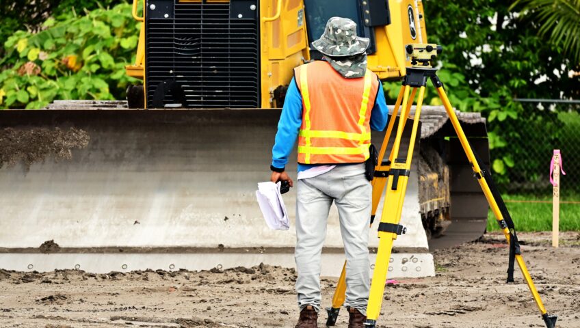
Total Station is an electronic distance measuring device (EDM) that is utilized by land surveyors and civil engineers while performing site surveys and construction work. The Total Station combines the ability to measure vertical and horizontal angles with electronic distances by combining a telescope, computer, and reflector. Total stations are tools that can be placed on the ground and use various sensors to calculate kilometers, angles, sectors, and altitudes, and find items. This is a great tool to use when needing to get the most accurate measurements on a project. After all the data is collected, it can be imported onto computers or laptops for the additional information to be processed.
Total Station has advantages and disadvantages, just like any other tool. The Total Station's measurement accuracy is an advantage, but the cost of the tool increases with increasing measurement accuracy in addition to its features, which can be a disadvantage for many companies. Therefore, buying a Total Station requires a significant investment of funds, so it is important to evaluate which model is best for the kind of work that your company does. Prism total stations, robotic total stations, autolock total stations, and total mechanical stationary are some of the different types of Total Stations. Furthermore, if funds are an issue, there are other tools that can offer an excellent alternative at a small fraction of the cost for projects that do not require precise measurement.