National Surveyors Week

National Surveyors Week, which begins every third Sunday in March, is an important event that aims to educate the public through media and viable public services. This week-long celebration of the surveying profession was officially proclaimed by President Ronald Reagan on February 13, 1984, making it a significant occasion for surveyors across the nation.

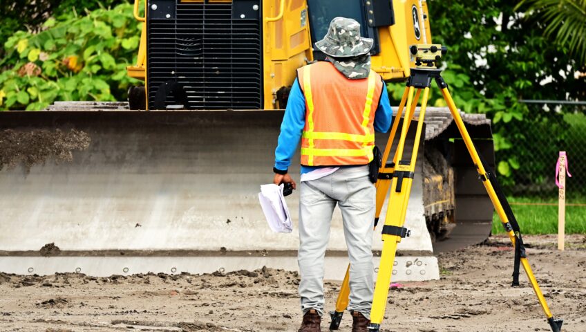
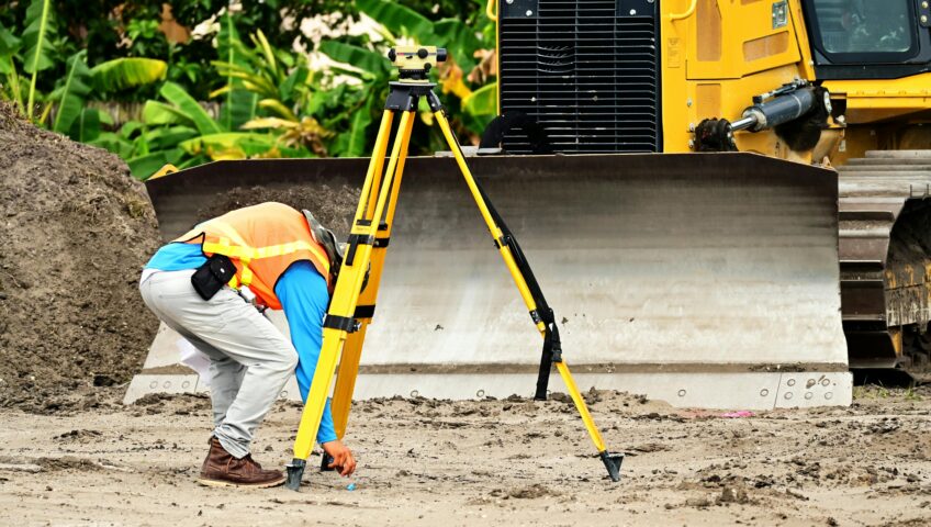
During National Surveyors Week, professionals in the field of surveying come together to raise awareness about their work and the crucial role they play in various industries. Surveyors are responsible for accurately measuring and mapping the physical features of the Earth's surface, which is essential for a wide range of activities, including land development, construction, and resource management.

One of the primary objectives of National Surveyors Week is to educate the public about the importance of surveying and the impact it has on their daily lives. Through various media channels, such as newspapers, television, and online platforms, surveyors strive to inform the public about the significance of accurate measurements and mapping in ensuring the safety and efficiency of infrastructure projects.

In addition to media outreach, National Surveyors Week also focuses on providing viable public services. Surveyors organize events and activities that allow the public to learn more about the profession and interact with professionals in the field. These events may include open houses, educational workshops, and community outreach programs, all aimed at fostering a better understanding of surveying and its applications.

By actively engaging with the public, surveyors hope to inspire the next generation of professionals in the field. National Surveyors Week serves as a platform to showcase the exciting opportunities that surveying offers, encouraging young individuals to pursue careers in this dynamic and essential industry.

President Ronald Reagan's proclamation of National Surveyors Week in 1984 recognized the invaluable contributions of surveyors to society. Since then, this annual celebration has continued to grow, with surveyors from all corners of the country coming together to promote their profession and educate the public about its significance.

In conclusion, National Surveyors Week, which commences every third Sunday in March, is a vital event that aims to educate the public through media and viable public services. President Ronald Reagan's proclamation in 1984 marked the official recognition of the surveying profession and its importance to society. Through various initiatives and activities, surveyors strive to raise awareness about their work and inspire the next generation of professionals. As we celebrate National Surveyors Week, let us acknowledge the crucial role surveyors play in shaping our world and ensuring its continued progress.


What Is Total Station Used For?

Total Station technology was first introduced in the 1900s; however, the first official Total Station tool was created in 1968 by a German company called Carl Zeiss Inc., and during that time, Zeiss called this tool the “electronic tacheometer.” It wasn't until Hewlett-Packard launched a tool that provided similar results, but with the name "Total Station," over thirty years after the electronic tacheometer was created that it adopted its current name.

Total Station is an electronic distance measuring device (EDM) that is utilized by land surveyors and civil engineers while performing site surveys and construction work. The Total Station combines the ability to measure vertical and horizontal angles with electronic distances by combining a telescope, computer, and reflector. Total stations are tools that can be placed on the ground and use various sensors to calculate kilometers, angles, sectors, and altitudes, and find items. This is a great tool to use when needing to get the most accurate measurements on a project. After all the data is collected, it can be imported onto computers or laptops for the additional information to be processed.

Total Station has advantages and disadvantages, just like any other tool. The Total Station's measurement accuracy is an advantage, but the cost of the tool increases with increasing measurement accuracy in addition to its features, which can be a disadvantage for many companies. Therefore, buying a Total Station requires a significant investment of funds, so it is important to evaluate which model is best for the kind of work that your company does. Prism total stations, robotic total stations, autolock total stations, and total mechanical stationary are some of the different types of Total Stations. Furthermore, if funds are an issue, there are other tools that can offer an excellent alternative at a small fraction of the cost for projects that do not require precise measurement.


What is Topographic Survey?

Land surveyors’ workload consists of a wide range of tasks, but the main concept of their overall work is to prepare sites for construction. Topographic survey is one of the main types of services performed by land surveyors. According to civilengineeringbible.com, topographic survey is defined as a “method of determining the positions, on the surface of the earth, of human made and natural features. It also is used to determine the configuration of the terrain.” So, in other words, surveyors perform topographic survey to find coordinates and height data needed for construction sites.

The methods used for performing topographic survey include:

  • Aerial Survey: Aerial survey is also known as photogrammetry. This method allows surveyors to easily survey the ground by collecting high-altitude photos using a plane or drone.
  • Global Positioning System (GPS): This method is used in smaller areas where aerial approach is not necessary.
  • Total Station: This method is known to be the most effect method since it is performed directly by the field crew resulting in more detailed information being collected.

KC’s land surveying group consists of dedicated professional land surveyors, party chiefs, instrument persons, geographic information system (GIS) technicians, draftsmen, engineering technicians, and Computer-Aided Design (CAD) operators with experience researching and recording all types of survey data and providing field services in varying terrains and weather. To learn more about KC’s services, please visit our Services tab.